 INSPIRE Metadatensuche Österreich

Type of resources
Available actions
Topics
INSPIRE themes
Keywords
Contact for the resource
Provided by
Years
Formats
Representation types
Update frequencies
Service types
Scale
Resolution
-
Der Layer umfasst alle von den AntragstellerInnen erfassten Feldstücken, welche als Grundlage der Förderabwicklung dienen. Ein Feldstück ist eine im Bundesgebiet gelegene, eindeutig abgrenzbare Bewirtschaftungseinheit eines Betriebsinhabers mit nur einer Nutzungsart gemäß § 16 der Verordnung des zuständigen Bundesministeriums mit horizontalen Regeln für den Bereich der Gemeinsamen Agrarpolitik (Horizontale GAP-Verordnung) StF: BGBl. II Nr. 100/2015, die im Geographischen Informationssystem (GIS) als Polygon digitalisiert ist und aus Schlägen besteht. Aus technischen Gründen ist das Entstehungsdatum der Geometrien für die Daten der Jahre 2015-2018 fachlich nicht zuverlässig verwendbar.
-
Gesamt-Einzugsgebiete der Detailwasserkörper; Stand: WRRL Nationaler Gewässerbewirtschaftungsplan 2015
-
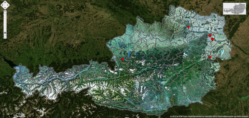
Ereignisse Naturgefahren (Hochwasser, Massenbewegungen, Lawinen) aus dem Ereigniskataster Land Kärnten
-
Dieser Layer umfasst alle von den AntragstellerInnen erfassten Schlagnutzungen, welche als Grundlage der Förderabwicklung dienen. Ein Schlag ist eine zusammenhängende Fläche eines Feldstücks, die für eine Vegetationsperiode mit nur einer Kultur (Schlagnutzungsart) und einheitlicher Bewirtschaftungsauflage bzw. als ein Landschaftselementetyp gemäß Anlage 1 der Verordnung des zuständigen Bundesministeriums mit horizontalen Regeln für den Bereich der Gemeinsamen Agrarpolitik (Horizontale GAP-Verordnung) StF: BGBl. II Nr. 100/2015 bewirtschaftet oder aber lediglich in gutem landwirtschaftlichen und ökologischen Zustand gemäß Art. 94 der Verordnung (EU) Nr. 1306/2013 erhalten wird und im GIS als Polygon oder als Punkt digitalisiert ist.
-
Standorte, an welchen Abfall behandelt wird, gesammelt wird, oder anfällt, sowie Standorte, an welchen Abwässer gereinigt werden, und Standorte mit Emissionen in Luft und/oder Wasser.
-
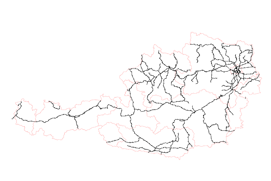
Streckengraph im Verantwortungsbereich der ÖBB
-
Der Datensatz basiert auf den Inhalten der Hydrogeologischen Karte von Österreich 1:500.000. Der Punktlayer beinhaltet Quellen und Quellgruppen (ab einer mittleren Schüttung von 10 l/s) mit dem Ziel, einen Hinweis auf die Ergiebigkeit des Grundwasserleiters liefern zu können.
-
Aus Landsat-Satelitenbildern (30m Auflösung) erstellter Waldbestand und Baumartenmischung von Österreich.
-
Alle Umspannwerke im Versorgungsgebiet der TIWAG in Tirol.
-
beinhaltet die folgenden Ausgangsdaten : Schutzgebiet aufgrund Landesgesetzgebung Wien / Europaschutzgebiete (Natura2000)-Vogelschutz-Richtlinie Wien / UNESCO-Weltkulturerbe Wien / Ramsar Gebiete Wien / Europaschutzgebiete (Natura2000) - Flora-Fauna-Habitat-Richtlinie Wien / Nationalpark Donau-Auen Wien / Biosphaerenpark Wienerwald Wien / Naturdenkmäler flächig Wien