 INSPIRE Metadatensuche Österreich
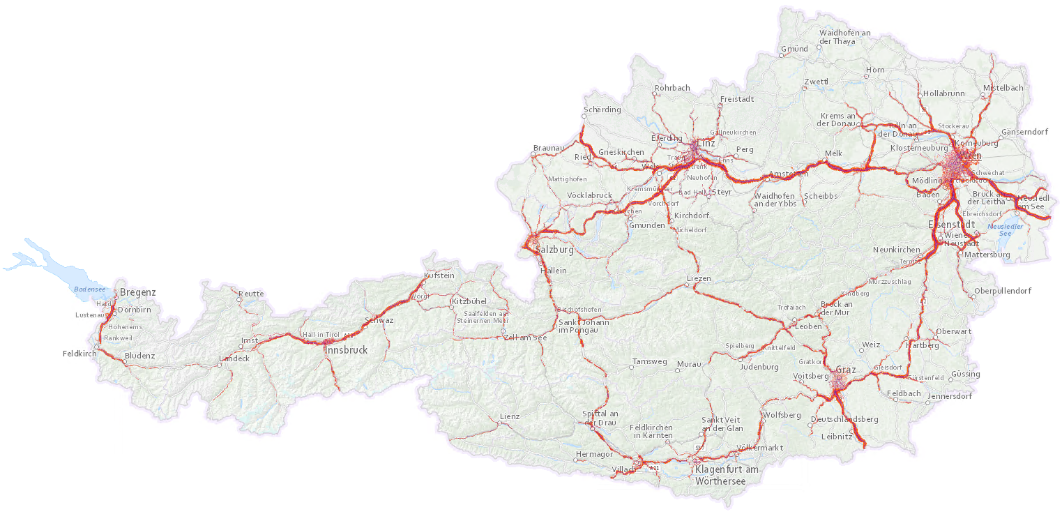
Lärmzonen Umgebungslärmkartierung 2017 - Strasse Österreich
Lärmzonen gemäß Umgebungslärmgesetzgebung für Straßen für die Lärmindizes Lden und Lnight
Die Lärmzonen stehen für das gesamte Bundesgebiet zur Verfügung. Im Downloaddienst werden sie getrennt nach Bundesländern angeboten, im Darstellungsdienst ist der österreichweite Datensatz enthalten.
INSPIRE
Identification
- Metadatensatzidentifikator
- 125ec87c-7120-48a7-bd2c-2718cbf878c6 XML
- Hierarchieebene
- Datenbestand
Online resource
- resource_protocol
-
OGC:WMS
- resource_protocol
-
WWW:LINK-1.0-http--rss
- resource_protocol
-
WWW:DOWNLOAD-1.0-http--download
- resource_protocol
-
WWW:DOWNLOAD-1.0-http--download
- resource_protocol
-
WWW:DOWNLOAD-1.0-http--download
- resource_protocol
-
WWW:DOWNLOAD-1.0-http--download
- resource_protocol
-
WWW:DOWNLOAD-1.0-http--download
- resource_protocol
-
WWW:DOWNLOAD-1.0-http--download
- resource_protocol
-
WWW:DOWNLOAD-1.0-http--download
- resource_protocol
-
WWW:DOWNLOAD-1.0-http--download
- resource_protocol
-
WWW:DOWNLOAD-1.0-http--download
- resource_protocol
-
WWW:DOWNLOAD-1.0-http--download
- resource_protocol
-
WWW:DOWNLOAD-1.0-http--download
- resource_protocol
-
WWW:DOWNLOAD-1.0-http--download
- resource_protocol
-
WWW:DOWNLOAD-1.0-http--download
- resource_protocol
-
WWW:DOWNLOAD-1.0-http--download
- resource_protocol
-
WWW:DOWNLOAD-1.0-http--download
- resource_protocol
-
WWW:DOWNLOAD-1.0-http--download
- resource_protocol
-
WWW:DOWNLOAD-1.0-http--download
- resource_protocol
-
WWW:DOWNLOAD-1.0-http--download
Resource identifier
- Sprache
- Deutsch
- Räumliche Darstellungsart
- Vektor
Encoding
- Format
-
ESRI Shapefile
- Version
-
1.0
Projection
Classification of data and services
- Thematik
-
- Umwelt
Classification of data and services
Coupled resource
Coupled resource
Classification of data and services
Coupled resource
Coupled resource
Keywords
-
INSPIRE priority data set
-
-
Agglomerations - roads noise exposure delineation (Noise Directive)
-
Agglomerations - noise exposure delineation (Noise Directive)
-
Agglomerations - roads noise exposure delineation day-evening-night (Noise Directive)
-
Other keywords
- Keywords
-
-
Tag-Abend-Nachtlärmindex Lden
-
- Keywords
-
-
Nachtlärmindex Lnight
-
- Thema
-
-
Umgebungslärm
-
Lärm
-
Umgebungslärmkartierung
-
HighValueDataset
-
Geographic coverage
))
Temporal reference
Temporal extent
- Begin
- 2017-12-31
- End
- 2022-12-30
Temporal extent
- Datum (Publikation)
- 2018-06-30
Quality and validity
- Lineage
-
Die Daten wurden entsprechend den Vorgaben der Umgebungslärmrichtlinie bzw. deren nationaler Umsetzung erstellt.
Zuständige Behörden für die Lärmkartierung von Straßen sind das BMLUK, das BMIMI und die Bundesländer.
Die Lärmzonen weisen einen Pegelbereich von 5 Dezibel auf.
Attribute:
DB_LO unterer Pegelwert der Lärmzone
- Distanz
- 10 m
Conformity
Conformity
Conformity
Conformity
Conformity
Conformity
- Explanation
-
siehe Referenzdokument (INSPIRE Technical Guidelines)
Restrictions on access and use
- Access constraints
- No limitations on public access
- Access constraints
- Namensnennung 4.0 International (CC BY 4.0)
- Access constraints
-
Das Urheberrecht an den Daten besitzen das BMLUK, das BMIMI und die Bundesländer. Der Datenbenutzer ist verpflichtet, bei allen Folgeprodukten, in welcher Form auch immer, den Urheber und die jeweiligen fachlichen Quellen anzugeben. Die Vermarktung, oder sonst in irgendeiner Form kommerzielle Verwertung der Daten ist nicht zulässig. Bezüglich der Richtigkeit und Vollständigkeit der zur Verfügung gestellten Daten, sowie für Schäden, die aus solchen Mängeln entstehen, wird keine Haftung übernommen.
Responsible organization (s)
Contact for the resource
- Organisation name
-
Bundesministerium für Land- und Forstwirtschaft, Klima- und Umweltschutz, Regionen und Wasserwirtschaft
- Organisation name
-
Umweltbundesamt GmbH
Responsible organization (s)
Contact for the resource
- Organisation name
-
Bundesministerium für Land- und Forstwirtschaft, Klima- und Umweltschutz, Regionen und Wasserwirtschaft
- Organisation name
-
Umweltbundesamt GmbH
Metadata information
Contact for the metadata
- Organisation name
-
Umweltbundesamt GmbH
- Datum
- 2025-04-02T15:28:09
- Sprache
- Deutsch
- Zeichensatz
- Utf8
SDS
Conformance class 1: invocable
Access Point URL
Endpoint URL
Technical specification
Conformance class 2: interoperable
Access constraints
Limitation
Use constraints
Limitation
Responsible custodian
Contact for the resource
Overviews
Räumliche Ausdehnung
Provided by
